

The Ocean-to-Ocean Bridge crosses the Colorado River in Yuma, Arizona, on Penitentiary Avenue. This historic bridge is known for its distinctive Pennsylvania truss design and its early role as the only highway crossing of the river for 1,200 miles.
- Location: Penitentiary Avenue, over the Colorado River in Yuma.
- Bridge design: two through-truss spans, each more than 300 feet long.
- History: opened to traffic in May 1915.
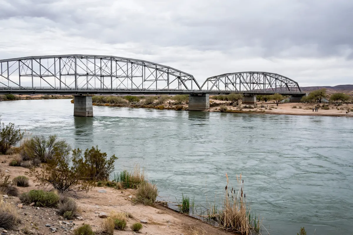
Where the Ocean-to-Ocean Bridge stands
The Ocean-to-Ocean Bridge stands on Penitentiary Avenue, crossing the Colorado River in Yuma. Yuma County owns the bridge, which carries the avenue across the river.
Its position links two parts of Yuma’s historic landscape: a City of Yuma planning document places the bridge between Yuma Territorial Prison and Gateway Park. The document also says it connects with the historic trails system through city streets. Yuma’s historic sites also include the Quartermaster Depot State Historic Park, covered in its visitor guide.
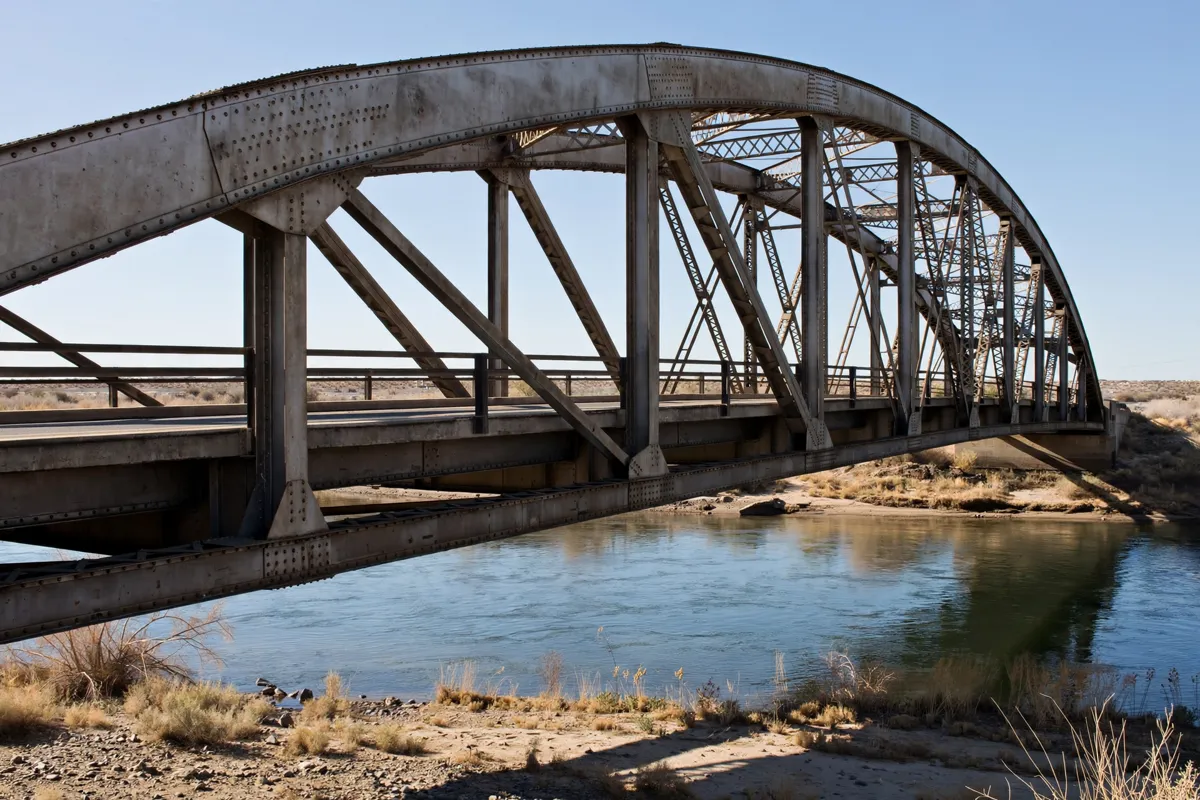
Why the bridge matters in Yuma
The bridge matters for its engineering, its early importance to highway travel, and its place in Yuma’s history.
Construction began in October 1914. Floods washed away the construction falsework twice, so contractors assembled the spans on barges and floated them into position. The bridge opened to traffic in May 1915. When completed, it was the only highway crossing of the Colorado River for 1,200 miles.
ADOT describes two identical through-truss spans, each more than 300 feet long. The bridge is Arizona’s only example of a Pennsylvania truss, a design distinguished by its curved top chord.
As traffic shifted to Interstate 8, the bridge closed to vehicles from 1988 through 2001. It reopened to vehicle traffic in 2002 after rehabilitation and became part of Historic US 80 in 2018. It is listed on the National Register of Historic Places.
What can you see from the river and bridge?
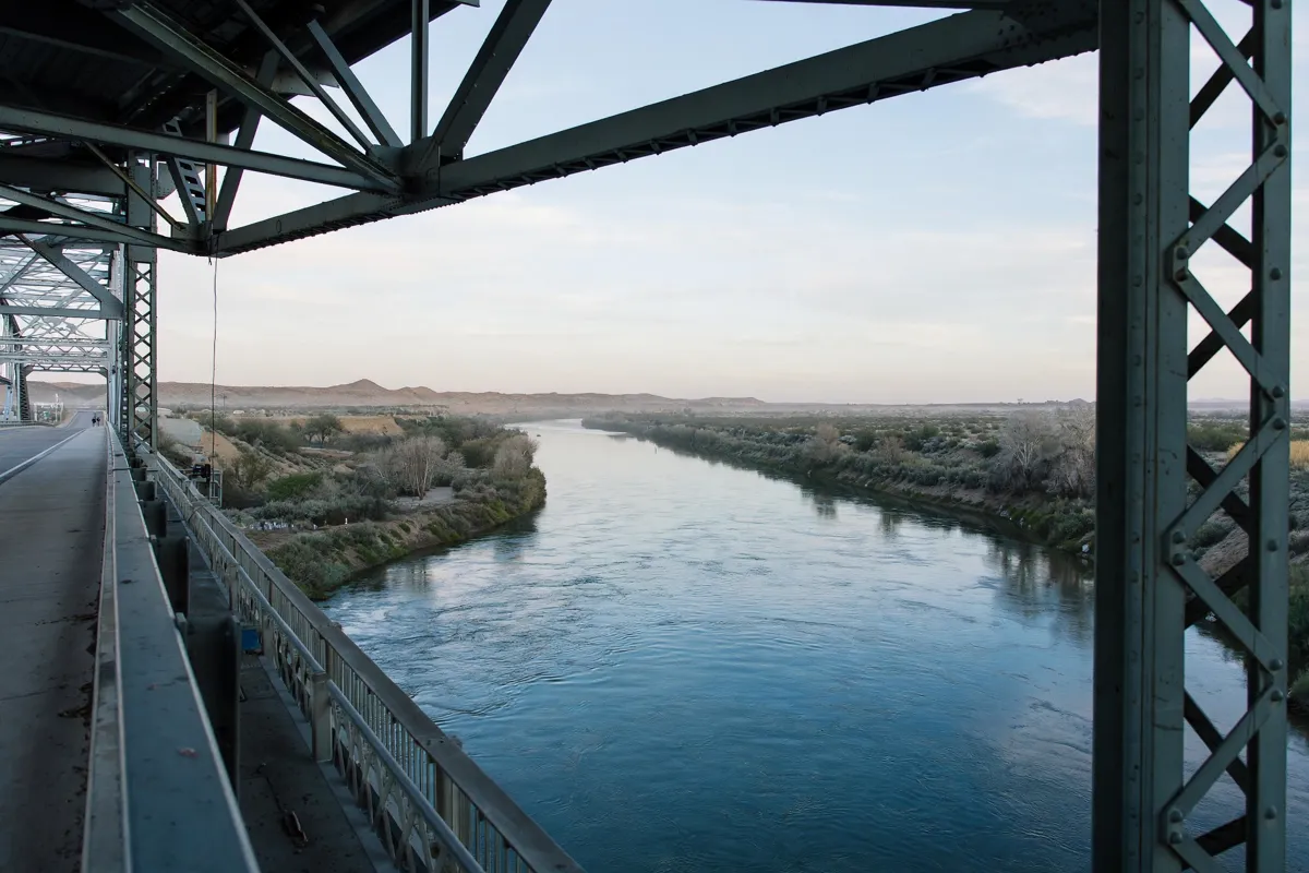
The bridge’s setting over the Colorado River gives you a clear reason to consider both the structure and its surroundings. From the river corridor, its paired spans and curved top chords are the defining features to look for.
Keep the bridge’s role in mind as you take in the view: it carries Penitentiary Avenue across the river and was built as a major highway crossing.
The structure’s long spans also reflect the unusual construction method used after floods repeatedly washed away the falsework. For river scenery beyond the bridge, West Wetlands Park’s trails and river views offer another Yuma outing.
How do you access the Ocean-to-Ocean Bridge?
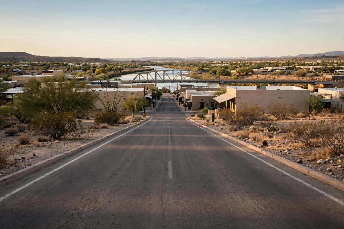
The bridge is on Penitentiary Avenue, and its documented access links to the surrounding historic trails system through city streets.
Ocean-to-Ocean Bridge is about an 8-minute drive from Torch Lite Lodge. The bridge has carried vehicle traffic since reopening in 2002, but these facts do not establish current pedestrian access or conditions on the crossing. Check the official site before you go; the City of Yuma is the relevant local source for access information.
Pairing the bridge with a riverfront visit
The bridge sits between Yuma Territorial Prison and Gateway Park, so you can use those landmarks to orient a visit to this stretch of the riverfront. Its connection to the historic trails system runs via city streets, offering context for how the crossing fits into Yuma’s wider historic landscape.
For a broader day plan, the bridge can be one stop in a route through the historic riverfront and downtown: a one-day Yuma itinerary covers that wider sequence.
FAQs
When did the Ocean-to-Ocean Bridge open?
The bridge opened to traffic in May 1915, after construction began in October 1914.
What makes the bridge’s design unusual?
It is Arizona’s only Pennsylvania truss, a truss type with a curved top chord. The bridge has two identical through-truss spans.
Does the bridge still carry vehicles?
It reopened to vehicle traffic in 2002 after rehabilitation. Check the official site before you go for current access information.